It’s My Hometown Baybeh
 Google Earth updated their overlay on my hometown recently, and I was so damn thankful that my hometown was mapped in their systems at last. I have been waiting for very long to be honest even since GE was released with their version 1. The map was actually a second overlay being overlapped on the existing one. The existing one only covers the east side of Bidor, that is the Chinese cemetery, part of the highway exit and all along to Kg.Poh and Gepai Falls. Whereas to the south, the first overlay covers up till the south of Slim River, BUT not Tanjung Malim.
At the beginning I thought that was it, the update would never cover the town centre and my neighbourhood which was located at the south side of the town. Only until 2 days ago, I launched my GE out of curiosity only to find the second overlay was found overlapping the first one and that covers more than 4 miles extra to the west, that eventually covers the town centre up till the junction to Teluk Intan.

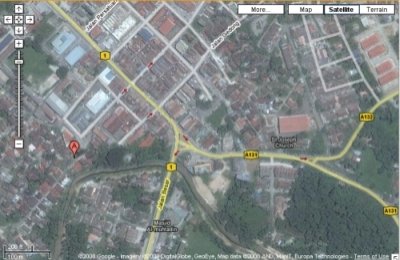
Town centre

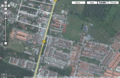
My hood, southside of town

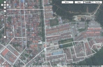
East side of town, heavily populated housing area
I was hoping that the next overlay will cover the entire Bidor and it’s suburban areas such as villages in Jalan Teluk Intan that includes Bidor Station, Cold Stream, Jeram Mengkuang and Kuala Bikam. Jalan Tapah such as Tanah Mas, 3rd Battalion PGA/20th Senoi Praaq base, and Desa Damai.
Definitely soon.